A
A
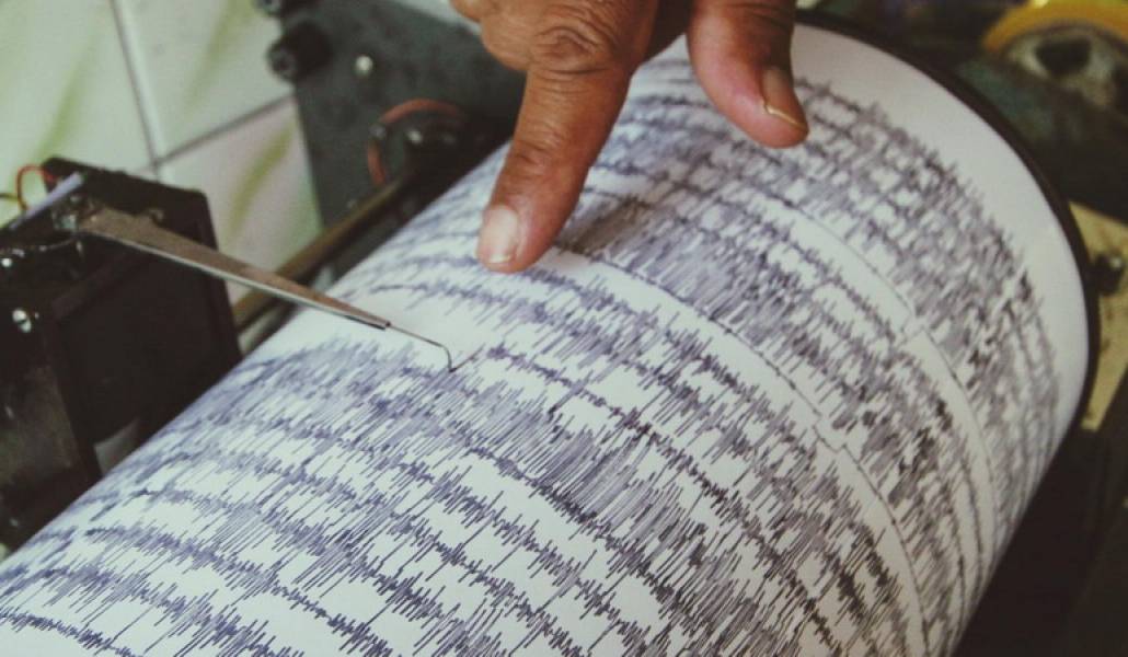
Earthquake registered 21km west from Armenia’s Gavar town

On July 9, at 15:58 local time, the Seismic Protection Survey Seismological Network of the Armenian ministry of emergency situations registered an earthquake at the northern latitude 40.340 and eastern longitude 44.870 geographic coordinates (Armenia, 21km west from the town of Gavar of Gegharkunik province) with 2.4 magnitude and 12 km depth. The tremor measured magnitude 3 point at the epicenter area.


